As a landscape architect I find it inspiring to see how New York City continues to create new high quality and engaging public open space through adaptive reuse of post- industrial land. Having visited Phase 1 of the Hunter’s Point project in mid 2017, I was keen to see the recently completed Phase 2 during a visit to New York in September 2018.
Aerial oblique view of the site
Source: SWA, photo: Bill Tatham
Located in Long Island City Queens, the US$66 million Hunter’s Point Park forms a key component of the Hunter’s Point South urban renewal project led by the New York City Economic Development Corporation. When completed the new mixed-use neighbourhood will incorporate 5,000 housing units, of which 60% are for low to moderate income families. The development also includes retail space, a new public school, community centre and waterfront public open space.
Context Hunter’s Point South Project Plan
Source: New York City Economic Development Corporation
Formerly the home to slaughter houses, oil refineries and chemical plants that not only polluted the land but also the adjoining water bodies, the site now stands as a potent demonstration of how contaminated land can be remediated to become prime public open space and make a major contribution to the liveability of a city.
Designed by Weiss/Manfredi architects in collaboration with SWA/Balsley landscape architects, Phase 2 of Hunter’s Point Park provides diverse but integrated recreation facilities and opportunities for relaxation and social interaction. The Park functions as a public open space for the local residents of Long Island City as well as visitors from other parts of New York City and beyond. While Phase 1 of the Park incorporates a highly programmed set of active recreation facilities, Phase 2 is focused on more informal and passive interaction with the Park, providing opportunities for quite reflection and leisurely strolling to enjoy the ever changing views from the Park as well as the diverse landscape within the Park.
Hunter’s Point South Project Plan
Source: New York City Economic Development Corporation
The Phase 2 waterfront open space wraps around the Hunters Point Peninsula at the junction of Newtown Creek and the East River. It provides varying scales of spatial experience from the grand open sweeping spaces of the observation deck, to semi open spaces along the various paths, to the intimate spaces within the seating areas. The ten metre elevation difference between street level and water’s edge has allowed the designers to create a diverse but coordinated sequence of experiences for visitors.
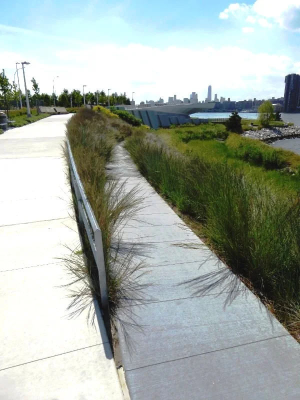
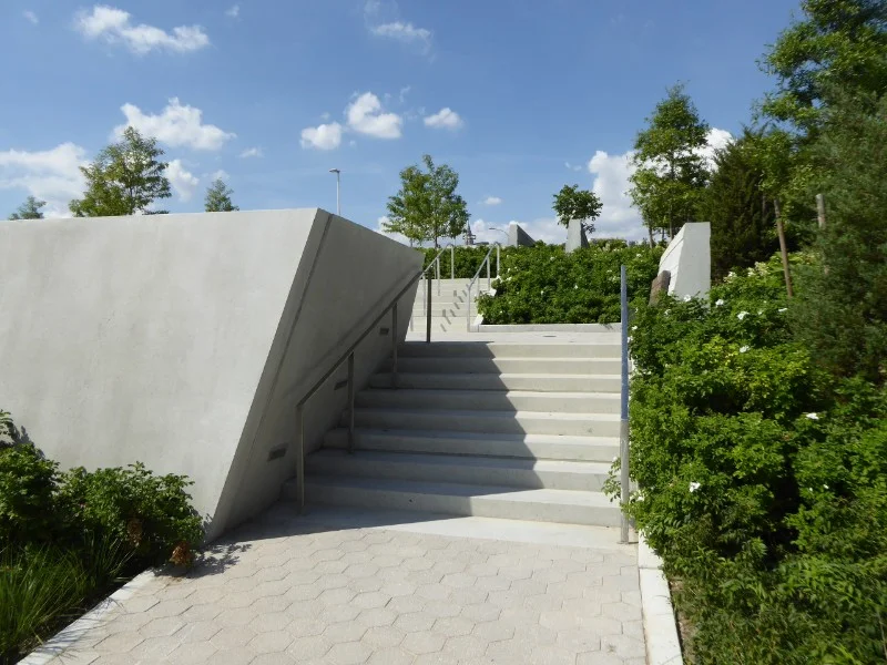
I was particularly struck by how the curving and angular paths combine with the boldly sculptured landforms to ensure that views are constantly changing in what Weiss-Manfredi refers to as “a cinematic experience of the landscape”.
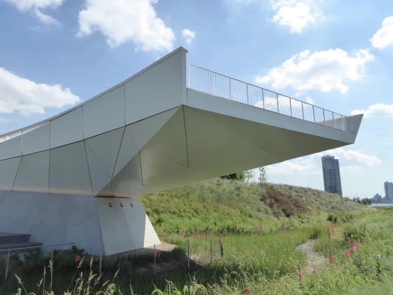
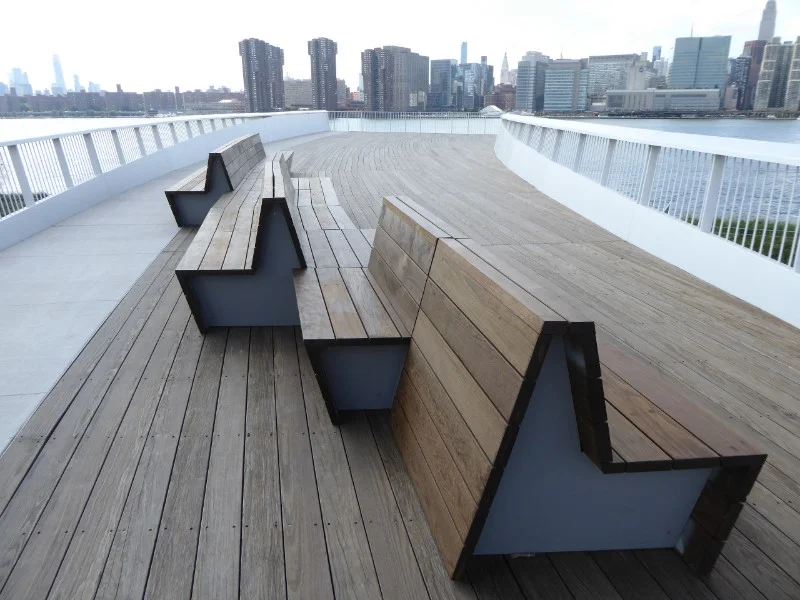
An observation deck dramatically cantilevered eight metres above the river edge provides spectacular panoramic views across the busy East River. By aligning the deck with the Empire State Building set within in the Manhattan skyline the designers have created a strong and direct visual connection between the Park and the core of New York City. The ship brow form of the observation deck makes reference to the former relationship of the site to shipping. The shape also reflects the sweeping form of the canopy structure over the outdoor waterfront eating area constructed as part of the Phase 1, which also aligns with the Empire State Building.
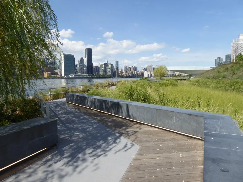
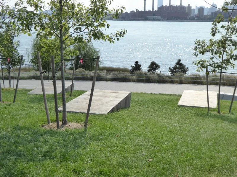
The East River edge pathway in Phase 2 provides a strong relationship to the water while at the same time providing visual separation from the construction sites of nearby high rise residential towers. The water edge pathway is punctuated by seating areas with shade trees that allow relaxed contemplation and views across the active East River to the Manhattan skyline.
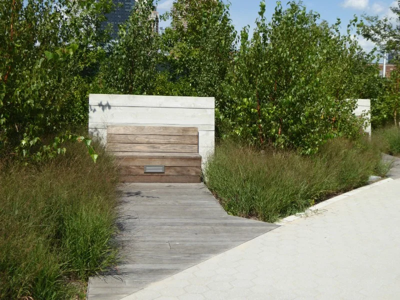
In contrast the paths running across the upper slopes of the new landform provide elevated views across the Park itself to the River and Manhattan skyline beyond. The combination of planting and high-backed seats focuses views towards the River and provides a sense of separation and protection from the adjoining street and urban development.
The broad swathes of planted native grasses are visually striking as they move in the wind and provide a fine grained foreground to grand panoramic river views. The relatively limited shade tree planting in Phase 2 of was very apparent on the extremely hot day that I visited the Park. Trees are carefully located to provide shade in strategic locations, particularly associated with seating.
To increase the Park’s resilience to the impacts of climate change, the design has involved extensive modifications to the East River shoreline, employing bulkheads and riprap to provide protection from wave action. The constructed wetlands make reference to the freshwater marsh vegetation that originally occurred on the site and are designed to accommodate future flooding. Wetlands planted with a diverse mix of indigenous species improve the quality of stormwater from the site before it is discharged in to the East River.
The predominance of grasses and ground cover planting throughout the Park, which was only opened to the public in July 2018, had created a surprising sense of landscape maturity for the project when I visited it in September. Hunters Point Park establishes a very high benchmark for other public open space projects developed on post-industrial urban sites.


